Rwanda’s Geopark Vision: Where Nature, Science, and People Meet
In September 2025, stakeholders from across Rwanda convened in Musanze for the National Consultation Workshop on UNESCO Global Geoparks.
The event brought together scientists, local leaders, conservationists, and community representatives to explore how Rwanda’s rich geological and cultural landscapes could contribute to sustainable development through the establishment of UNESCO Global Geoparks.
For many, it marked not just a workshop, but the beginning of a journey that could see Rwanda join a global network of places where nature, science, and communities unite under a shared vision of sustainable development.
The workshop, organized by the Rwanda National Commission for UNESCO in collaboration with the UNESCO International Geoscience and Geoparks Programme and the Rwanda Mines, Petroleum and Gas Board, aimed to explore how Rwanda could establish its first UNESCO Global Geopark.
UNESCO Global Geoparks are not simply scenic landscapes; they are living territories where geological heritage is protected and used to promote education, conservation, and sustainable livelihoods. Globally, there are 229 such geoparks across 50 countries — but only two in Africa.
For Rwanda, the initiative represents both a scientific milestone and a social opportunity: blending environmental conservation with cultural identity and economic development.
Ir. Dominique Mvunabandi, Director of the Science, Technology, and Innovation Unit at the Rwanda National Commission for UNESCO, explained:
“Geoparks bring benefits to local communities and to tourism in general, based on their land, settlement history, and culture.”
Dr. Özlem Adiyaman López, UNESCO expert, highlighted the selectivity of the designation process and the need for strong community and cross-border cooperation:
“Not all natural sites automatically qualify as UNESCO Global Geoparks. Sites must demonstrate outstanding geological significance, effective management, and strong community involvement. For transboundary sites, cooperation between countries is also essential.”
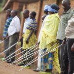
Northern Rwanda: Where Geology Meets Community
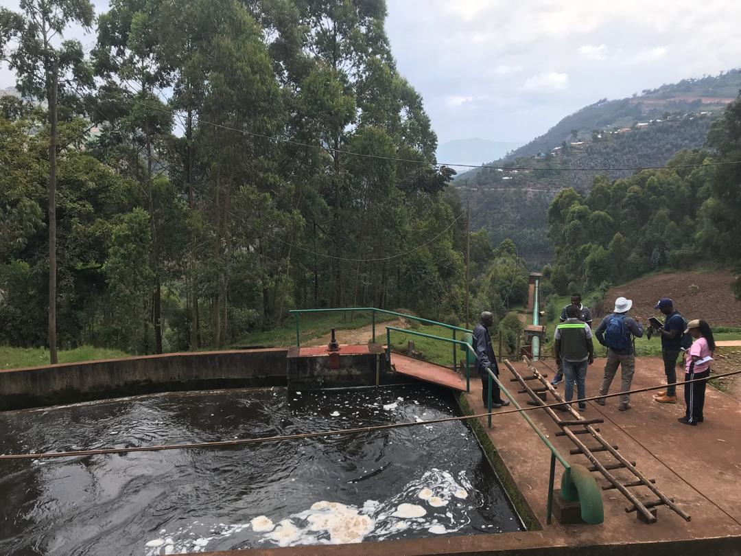
The northern districts of Musanze and Burera are at the heart of this vision. These areas, shaped by ancient volcanic forces, hold some of Rwanda’s most remarkable geological features — from the deep Musanze Caves to the twin lakes of Burera and Ruhondo, and the restored Rugezi wetland, now a thriving ecosystem and national success story in biodiversity recovery.
Beyond their natural beauty, these places tell stories of resilience, history, and community stewardship.
Dr. Cedrick Nsengiyumva, a lecturer from the Kigali Institute of Science and Technology, described Rwanda’s geology as “an open book on the history of the Earth itself.” He emphasized that “from ancient metamorphic rocks to the volcanic peaks of the Virunga chain, these formations provide opportunities for education, culture, science, and geotourism.”
He also suggested that before seeking UNESCO recognition, Rwanda must identify suitable sites, involve local communities, and build a management framework capable of balancing protection and development.
This bottom-up approach is the essence of the UNESCO Geoparks model — success depends not on government decree, but on community ownership and long-term commitment.
Professor Asfawossen Asrat, geologist and expert from Addis Ababa University, Ethiopia, echoed that sentiment:
“Geoparks are about people. If local communities are not involved, there will be no Geopark.”
He explained that Geoparks can generate jobs through geotourism, guiding, crafts, and hospitality, while also becoming open-air classrooms for environmental education.
“They yield social, economic, and educational benefits — they empower communities while protecting the environment,” he added.
That philosophy resonates deeply in northern Rwanda.
Grégoire Bakunzi, Founder and CEO of Red Rocks Initiative for Sustainable Development, believes the initiative aligns perfectly with community aspirations:
“A Geopark is not just about stones and landscapes — it’s about people. Its real value lies in how it creates socio-economic opportunities at the grassroots level. It can revive traditional knowledge, promote job creation, and encourage community ownership of conservation.”
The Rwanda Mines, Petroleum and Gas Board also sees the geopark model as a natural extension of national policy.
“The Geopark concept aligns strongly with Rwanda’s vision for sustainable natural resource management and green growth,” said Joseph Mugabo from RMB.
“It can help Rwanda move from resource extraction to resource appreciation — diversifying rural economies through geotourism while protecting our geological heritage.”
Community Pride and Possibility
The Governor of the Northern Province, Maurice Mugabowagahunde highlighted the importance of local engagement, noting the potential for research, education, and sustainable development:
“Rwanda’s northern landscapes are exceptional. Recognizing them as a Geopark will benefit communities, promote research, and ensure our natural heritage is protected for future generations.”
In Burera District, where the initiative could first take root, the excitement is tangible.
Mayor Mukamana Soline expressed strong support for the idea, highlighting the region’s unique landscapes and their potential for research, education, and tourism:
“In Burera, we have sites like the Rugezi wetland and the twin lakes of Burera and Ruhondo. If these places become recognized as a Geopark, it would help our people through education, research, and development. When an area becomes known, it brings visitors, income, and jobs — and it encourages people to protect it.”
She praised residents for already leading local conservation efforts, especially around Rugezi, where biodiversity has flourished thanks to community engagement.
“As we conserve, we gain a cleaner environment and better health. Our natural beauty can help us earn revenue and foreign exchange,” she noted.
That sense of ownership is shared by many.
“When people are not involved in conservation, everything feels like it belongs to outsiders,” said Uwase Saraphine, a Burera resident.
“But when you explain that a Geopark can create jobs, improve livelihoods, and help educate their children, they immediately become its protectors.”
In nearby Musanze, Mukarugwiza Domina reflected on how her habits have changed:
“I used to sell firewood, but now we’ve been encouraged to farm without cutting trees. When visitors come to see the beauty of our area, we know we must protect it because it benefits us.”
Local artisan Jean Bosco Habimana sees opportunity in creativity:
“We’re making handicrafts using stones from our local hills. Visitors are curious to know how they’re made — and that gives us both income and employment.”
For tourism students, the project also brings educational inspiration:
“Teaching people the value of stones, mountains, and the land helps them respect it and find ways to benefit from it,” said one participant.
A New Chapter for Rwanda’s Heritage
The workshop’s participants agreed that establishing a geopark in northern Rwanda could help reposition the country as a regional leader in sustainable tourism and conservation innovation. Experts from UNESCO and the national Geopark Committee are continuing field missions to collect geological, hydrological, and socio-economic data — a key step before the official nomination process.
If successful, Rwanda’s first UNESCO Global Geopark would join an exclusive global network that celebrates the deep connections between nature, history, and human resilience. It would stand as a testament to how local pride, scientific knowledge, and community cooperation can converge to protect the past while building a sustainable future.
In a nation already known as the Land of a Thousand Hills, the emerging story of Rwanda’s Geopark adds a new chapter — one that reminds every citizen that beneath those hills lies not only beauty, but opportunity.

Related Articles
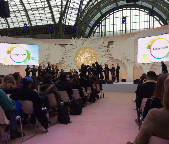
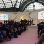
ChangeNOW 2026 in Paris: Where Belief Turns into Action for a Sustainable Future
As the curtains fell on ChangeNOW 2026, the atmosphere was anything but...
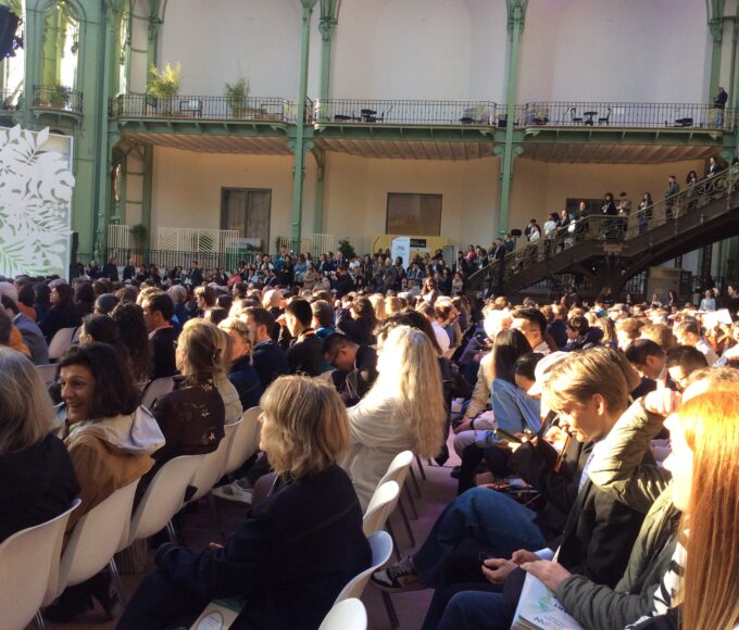
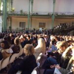
ChangeNOW 2026 Opens in Paris with an Inspiring and Eye-Opening First Day
Under the spectacular glass dome of the Grand Palais, the first day...
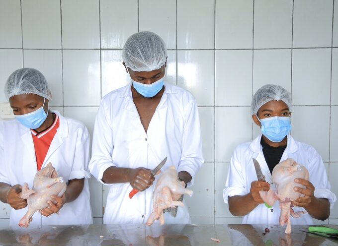
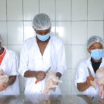
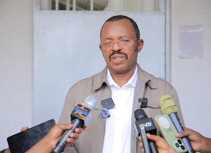
“Unsafe Meat Can Lead to Zoonotic Diseases,”- Dr. Gaspard Simbarikure
In Burera District, a visit to a modern poultry processing facility reveals...
VIBE Campaign Launches to Boost Food Quality and Job Creation in Rwanda
The Government of Rwanda has officially launched a nationwide awareness campaign under...
Leave a comment