




RCMRD earns global GIS award for advancing biodiversity conservation across Africa
 Uwimanimpaye Cyiza Marie ClemenceJuly 16, 20263 Mins read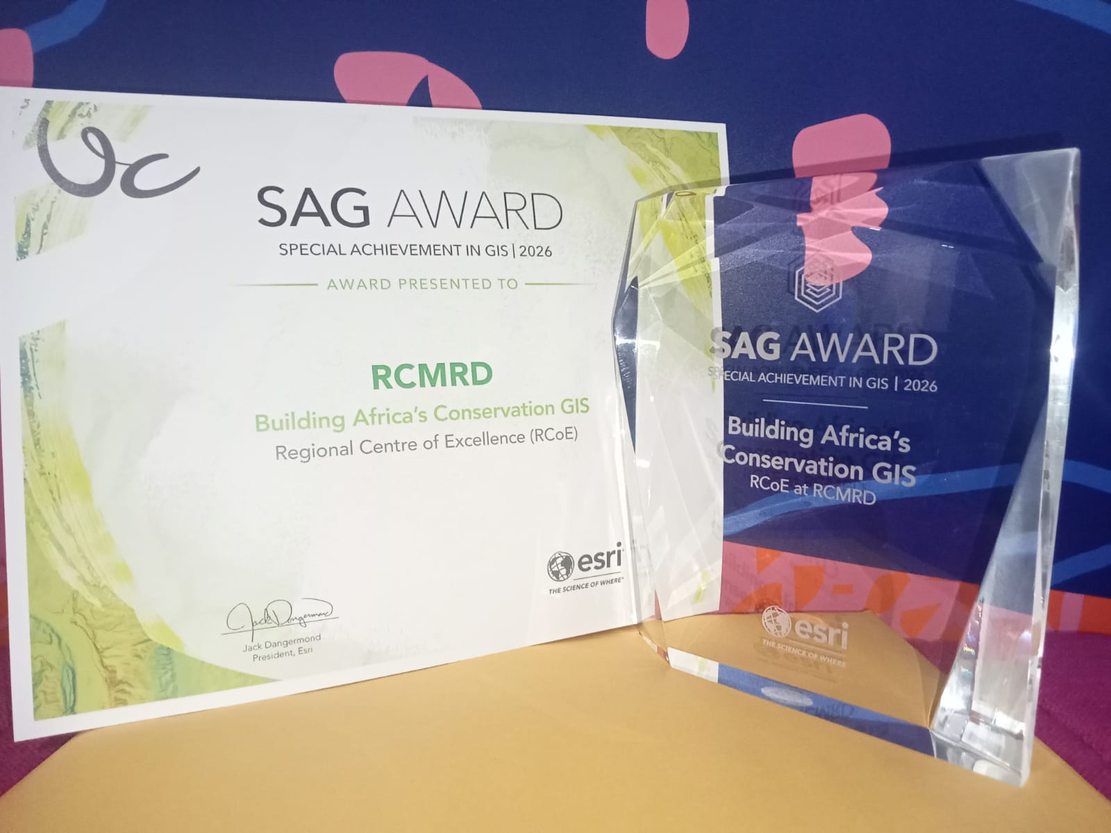
The Regional Centre for Mapping of Resources for Development (RCMRD) has received one of the geospatial industry’s highest honors for its work helping African countries use mapping technologies to strengthen biodiversity conservation and environmental decision-making.
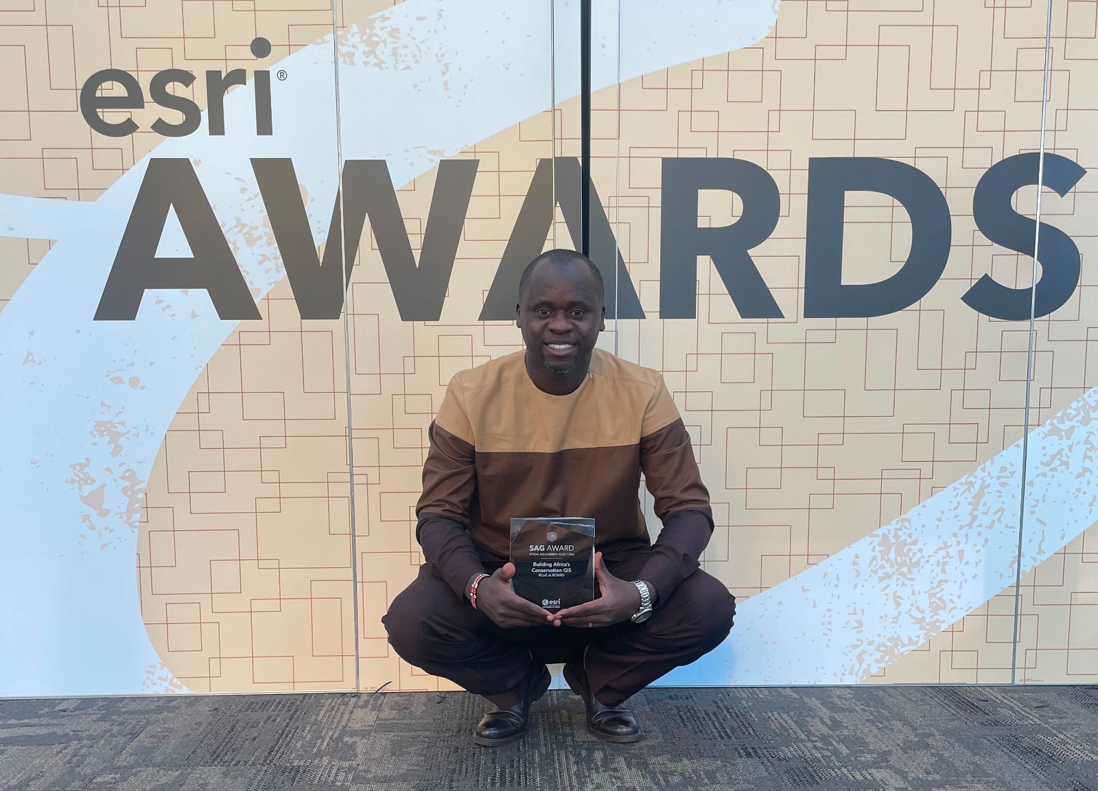
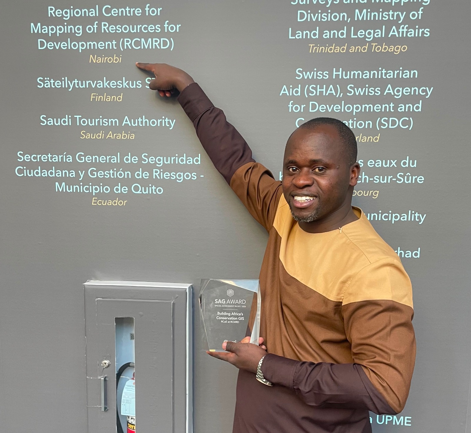
The Nairobi-based intergovernmental organization was presented with the 2026 Special Achievement in GIS (SAG) Award by Esri Inc., the global leader in Geographic Information Systems (GIS), during the company’s annual Esri User Conference in San Diego, California.
The recognition highlights RCMRD’s Regional Centre of Excellence for Biodiversity, Forests and Seascapes for Eastern and Southern Africa (RCoE-ESA), an initiative funded by the European Union that supports governments and conservation agencies in using geospatial data to better protect ecosystems and manage natural resources.
Selected from hundreds of thousands of organizations worldwide, RCMRD was recognized for its innovative application of mapping and spatial analytics to address biodiversity conservation challenges across Eastern and Southern Africa.
The award comes as African countries work to meet global biodiversity commitments, including the Kunming–Montreal Global Biodiversity Framework, which calls for conserving at least 30 percent of the world’s land and marine areas by 2030.
While environmental and satellite data have become increasingly available, many countries still face difficulties turning that information into practical policies because datasets remain fragmented, inaccessible or difficult to analyze. According to RCMRD, its Regional Centre of Excellence was established to bridge that gap by providing a shared regional platform for geospatial data, biodiversity maps, policy briefs, standardized field data collection tools and interactive visualization products.
The initiative currently supports 24 countries across Eastern and Southern Africa, enabling governments and conservation practitioners to monitor ecosystems, strengthen protected area management and make faster, evidence-based decisions for biodiversity conservation.
“Our work has enhanced environmental monitoring, spatial planning, and evidence-based policy formulation for governments, conservation agencies and local communities across Eastern and Southern Africa,” said Dr. Emmanuel Nkurunziza, Director General of RCMRD.
“For nearly five decades, RCMRD has worked to strengthen Africa’s capacity to manage its own natural resources. This award affirms that geospatial innovation, built in partnership with our member states and the European Union, is delivering real impact where it matters most: on the ground, ahead of the 2030 deadline the world has set for itself,” he added.
Esri President Jack Dangermond said the award recognizes organizations using GIS technology to solve real-world challenges.
“Each year, users demonstrate how crucial mapping technology is for our connected world, where almost every critical problem we face has a geographic component,” Dangermond said. “Recognizing these organizations is an honor since they are using GIS to not only improve their own decision-making but are innovating through their work to the benefit of our whole geospatial community.”
The Regional Centre of Excellence operates under the European Union-supported Africa Regional Centres of Excellence (ArcX) Programme, a continental initiative that promotes science, technology and innovation across biodiversity, climate change, agroecology, water and ocean management. The programme contributes to the AU–EU Innovation Agenda and aligns with the EU Global Gateway Strategy.
Established in 1975 under the auspices of the United Nations Economic Commission for Africa and the Organization of African Unity, now the African Union, RCMRD serves 20 member states in Eastern and Southern Africa, including Rwanda, Kenya, Uganda, Tanzania, Ethiopia, South Africa and Botswana.
The organization says the recognition underscores the growing role of geospatial technologies in helping African countries generate reliable environmental data, monitor biodiversity trends and support science-based policies aimed at protecting ecosystems while sustaining livelihoods.


Related Articles

Rwanda seeks to keep mercury out of gold mining as illegal operations pose monitoring challenge
Rwanda has made significant progress in keeping mercury out of artisanal and...
Uwimanimpaye Cyiza Marie ClemenceSeptember 10, 2026 
From food waste to business: Rwanda’s CIRF project looks beyond five years
Rwanda is seeking to build on lessons from a five-year programme that...
Uwimanimpaye Cyiza Marie ClemenceSeptember 6, 2026 
Kwita Izina puts Rwanda’s conservation model under the environmental spotlight
The naming of 22 baby mountain gorillas in Rwanda this week was...
Uwimanimpaye Cyiza Marie ClemenceSeptember 6, 2026 

Rwanda energy conference to seek investment, regional partnerships as Africa transition accelerates
Rwanda will host the sixth Renewable Energy for Sustainable Growth (RE4SG) Conference...
Uwimanimpaye Cyiza Marie ClemenceSeptember 6, 2026
Leave a comment